
Detailed info on the Niers cycling route can be obtained without any cost
The Niers Cycling Route, a 128-kilometer signposted route that winds through the Lower Rhine cultural landscape, has received an upgrade. The new fold-out map for the Niers Cycling Route is now available, offering an enhanced cycling experience for those traversing this picturesque region.
This collaborative effort between the district of Viersen, the economic development agency of the district of Kleve, the municipality of Gennep, and the city of Mönchengladbach has resulted in a comprehensive and user-friendly map. The new fold-out map is an updated version of the original information material, combining the three separate flyers into one cohesive resource.
The map provides a clear and graphic representation of the route's course, making it easier for cyclists to navigate. It also contains general information and tourist attractions along the Niers in both German and Dutch. This multilingual feature caters to the diverse cyclists who visit the region from both Germany and the Netherlands.
The "Cross-border Renewal of Information Materials for the Niers Cycling Route" project is funded by the Interreg Germany-Netherlands program and its partner organizations, and is co-financed by the European Union (EU). This funding underscores the importance of cross-border collaboration and the EU's commitment to promoting sustainable tourism in the region.
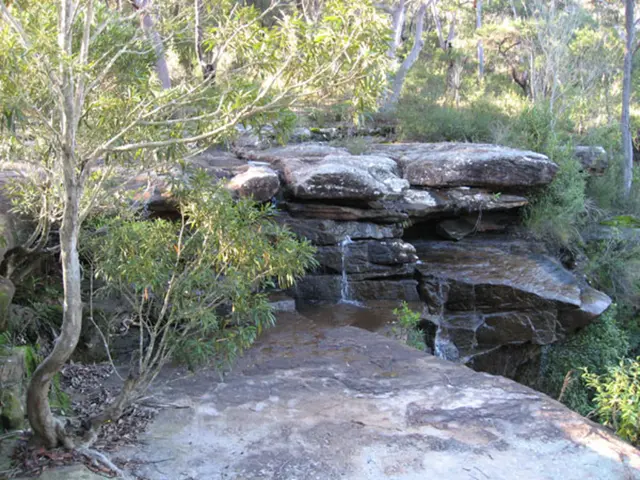
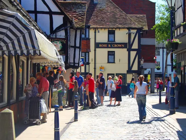
The Niers Cycling Route is designed to be away from urban centers, providing an immersive experience of the Lower Rhine's rich cultural landscape. Cyclists can expect to encounter medieval towns like Goch and Geldern, nature parks such as the Niersauen and surrounding river landscapes, historic sites including old mills, churches, and castles, and opportunities for birdwatching and nature observation.
The new fold-out map for the Niers Cycling Route is available for free in various locations, including libraries, municipal museums, district administration offices, adult education centers, bicycle shops, and at the reception desk at Minto (3rd floor). The map's easy accessibility ensures that cyclists can obtain the necessary information for their journey with minimal hassle.
To obtain the free fold-out map, you can check with the official local or regional tourism websites or visitor centers of the areas the Niers Cycling Route passes through. Cycling associations or networks dedicated to the Niers region are also valuable resources. Physical tourist information centers in cities or towns near the Niers River can also provide the map.
For exact details and current availability, we recommend visiting the official tourism websites of the Niers River region or contacting local visitor centers directly. The new fold-out map for the Niers Cycling Route is a testament to the cross-border collaboration and funding from the European Union, enhancing the cycling experience for those traversing the Lower Rhine cultural landscape.
The new fold-out map, a comprehensive resource for the Niers Cycling Route, caters not only to local cyclists but also to travelers from the Netherlands, offering a home-and-garden-like experience as one journeys through the Lower Rhine's picturesque landscape. This lifestyle enhancement is made possible through the collaborative effort of various entities and funding from the European Union, fostering sustainable tourism.

